
Arctic Explorer’s Story Finally Told
WSU Press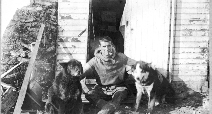
As a member of the 1906 Anglo-American Polar Expedition, Arctic explorer Ernest deKoven Leffingwell (1875–1971) helped determine the edge of the continental shelf—the first solid evidence that searching for land north of Alaska was likely futile. The University of Chicago-trained geologist remained on Flaxman Island, and with assistance from his indigenous neighbors, was the first to define and chart the geography and geology of the region. His groundbreaking work included creating detailed, accurate maps of Alaska’s northeast coast (now part of the Arctic National Wildlife Refuge), pioneering studies of ground ice (permafrost), explaining ice wedges, and identifying the Sadlerochit Formation, Prudhoe Bay oilfield’s main reservoir. He also observed birds and collected wildlife specimens for the Smithsonian and other institutions. “One hundred years later we’re still rediscovering things he discovered,” permafrost expert and consultant Torre Jorgenson commented.
More